")
Reimagining Cities Before They Exist: The Power of BIM in Modern Urban Planning
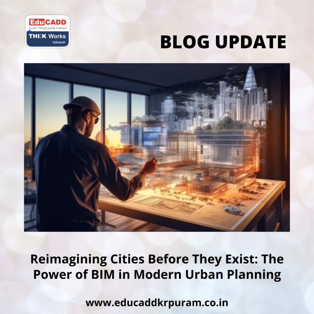
Cities shape how people live, work, and connect. As urban populations rise, cities face increasing pressure on land, infrastructure, and natural resources. Traditional urban planning methods struggle to manage this scale and complexity. Static drawings and disconnected data limit visibility and slow decision-making. BIM in Urban Planning introduces a smarter, digital-first approach. Building Information Modeling allows planners to design, analyze, and manage cities within an intelligent virtual environment. These models represent not only physical structures but also data, performance, and long-term behavior.
BIM in Urban Planning
With Urban Planning, cities move beyond guesswork. Planners test scenarios, predict outcomes, and refine strategies before construction begins. This shift transforms urban development into a proactive and resilient process, setting the foundation for smarter and more livable cities.
1. Urban Planning with BIM: Moving Beyond Conventional Planning Tools
Urban planning has long relied on zoning plans, policy documents, and two-dimensional layouts. While these tools provide structure, they often fail to capture real-world complexity. BIM in Urban Planning changes this limitation by introducing intelligence into planning models.
BIM creates integrated digital representations of urban environments. Buildings, roads, utilities, and public spaces exist within one coordinated system. Each element carries data related to function, materials, cost, and lifecycle.
Urban Planning also supports long-term adaptability. Cities constantly evolve due to population growth and economic change. BIM models update easily, allowing planners to adjust strategies without starting over. Planning becomes continuous, accurate, and future-focused.
2. BIM as the Core Framework for Smart City Development
Smart cities rely on coordination and data connectivity. Transportation systems, energy networks, water supply, and communication infrastructure must work together seamlessly. Urban Planning with BIM provides the digital framework that connects these systems.
Through BIM, planners visualize how infrastructure interacts across the city. They can test road networks, transit routes, and service corridors digitally. This reduces conflicts and improves efficiency.
Urban Planning with BIM also enhances collaboration. Multiple stakeholders work from a shared digital model. Decisions become transparent and well-informed. This coordinated approach accelerates approvals and improves urban outcomes.
3. Designing Sustainable Cities Through Predictive Modeling
Sustainability has become a central goal of urban development. Cities must reduce environmental impact while supporting growth. Urban Planning with BIM enables planners to embed sustainability into every design decision.
BIM tools analyze environmental conditions such as sunlight, wind patterns, and heat distribution. These insights guide building orientation and street layout. As a result, cities reduce energy consumption naturally.
Urban Planning also supports efficient water and waste management. Planners simulate drainage systems, green infrastructure, and flood scenarios. This predictive capability improves climate resilience and protects natural ecosystems.
4. Infrastructure Planning, Cost Accuracy, and Risk Mitigation
Urban infrastructure projects involve high investment and long timelines. Delays and errors often occur due to poor coordination. Urban Planning with BIM addresses these challenges by improving accuracy and foresight.
BIM detects conflicts between utilities, transportation systems, and structures early. These insights prevent costly on-site changes. Planning teams resolve issues digitally before construction begins.
Urban Planning also improves financial control. Accurate quantity data supports reliable cost estimation. Cities manage budgets more effectively and reduce financial risk. This transparency strengthens public trust and accountability.
5. Creating Human-Centered and Livable Urban Environments
Cities exist to serve people. Successful urban planning prioritizes comfort, safety, and accessibility. Urban Planning with BIM supports human-centered design through advanced visualization and analysis.
Planners use BIM models to evaluate pedestrian movement, traffic flow, and public space usage. These insights improve walkability and reduce congestion. Urban environments become safer and more inclusive.
Urban Planning with BIM also strengthens community engagement. Citizens understand proposals better through visual models. Feedback becomes clearer and more constructive. This collaborative process leads to better urban solutions.
6. BIM Integration with GIS, AI, and Digital Twin Technology
Urban Planning reaches its full potential when combined with other technologies. GIS adds spatial accuracy and geographic context. Artificial intelligence introduces predictive insights.
Through BIM-GIS integration, planners align land use, zoning, and environmental data accurately. AI tools forecast population growth, traffic demand, and energy needs. These insights support strategic decision-making.
Urban Planning also enables digital twins. These virtual city replicas update with real-time data. Planners monitor performance and test future scenarios continuously. Cities evolve intelligently rather than reactively.
7. Overcoming Adoption Barriers and Building BIM-Ready Cities
Despite its advantages, Urban Planning requires thoughtful implementation. Data consistency and standardization remain common challenges. Clear guidelines and frameworks help address these issues.
Skill development is equally important. Cities must invest in training planners, engineers, and decision-makers. Collaborative workflows require cultural change as well as technical capability.
However, these challenges are temporary. The long-term benefits of Urban Planning with BIM far outweigh initial efforts. Cities that adopt BIM strategically gain resilience, efficiency, and adaptability.
Conclusion
Cities face complex challenges that demand intelligent solutions. Traditional planning tools alone cannot manage rapid urban growth and climate uncertainty. BIM in Urban Planning offers a transformative path forward.
By combining data, visualization, and collaboration, BIM reshapes how cities are designed and managed. It improves sustainability, reduces risk, and enhances quality of life. Most importantly, it allows planners to anticipate change rather than react to it.
As urbanization continues, cities that embrace Urban Planning with BIM will lead the future. They will build environments that are smart, resilient, and people-focused. The cities of tomorrow begin today with a digital vision powered by BIM.

