")
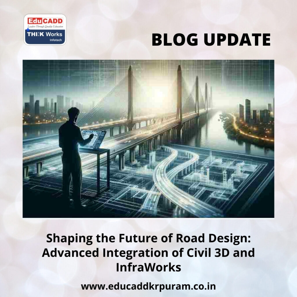
Shaping the Future of Road Design: Advanced Integration of Civil 3D and InfraWorks
Road infrastructure planning is no longer a process limited to 2D drawings and isolated design calculations. The modern era of civil engineering demands advanced tools that can handle complexity, provide real-world visualization, and ensure precise technical accuracy. One of the most effective strategies to achieve this is integrating Civil 3D with InfraWorks for road planning. This Advanced Road Design Integration allows engineers, urban planners, and construction managers to streamline workflows, enhance collaboration, and make data-driven design decisions. By combining Civil 3D’s technical precision with InfraWorks’ immersive visualization capabilities, road projects can achieve unprecedented levels of accuracy, efficiency, and sustainability.
Advanced Road Design Integration
Civil 3D: Precision at the Core of Road Engineering
Civil 3D serves as the backbone of modern civil engineering design. Its wide array of tools allows engineers to develop precise road alignments, corridors, grading designs, and cross-sections. Civil 3D provides automated calculations for volumes, earthwork, and material estimates, which are essential for accurate project cost analysis and scheduling. The software also facilitates the creation of detailed plan sheets, profile views, and construction documentation. By integrating with InfraWorks, Civil 3D data forms a solid technical foundation that ensures visual simulations in InfraWorks are not only aesthetically realistic but also grounded in engineering accuracy.
InfraWorks: Visualizing Roads in Real Environments
While Civil 3D excels at technical detail, InfraWorks shines in conceptual design and environmental visualization. InfraWorks allows engineers to create Advanced Road Design Integration with real-world terrain, existing infrastructure, and environmental constraints. With this tool, planners can simulate road alignments, evaluate traffic flow, and analyze hydrological impacts in a virtual environment. Integrating Civil 3D with InfraWorks ensures that these visualizations are based on precise engineering data, allowing stakeholders to better understand the potential impacts of a project and enabling more informed decision-making early in the design process.
Why Integration is Essential
Traditional workflows in road design often require multiple software tools, leading to repetitive data entry, errors, and inefficiencies. By integrating Civil 3D with InfraWorks, engineers can create a seamless, bidirectional workflow. Civil 3D models, including alignments, corridors, and surfaces, can be imported into InfraWorks for conceptual modeling and visualization. Conversely, modifications made in InfraWorks can be exported back to Civil 3D for detailed engineering adjustments. This integration reduces manual work, prevents errors, and allows design teams to focus on optimizing the road network rather than repeatedly translating data between platforms.
How Integration Works in Practice
The integration process involves a combination of data export and software interoperability features. Alignments, profiles, corridors, and surfaces designed in Civil 3D are exported to InfraWorks, where they can be used to generate realistic 3D visualizations. InfraWorks allows planners to test multiple scenarios, including environmental constraints, slope stability, and traffic behavior. Once these scenarios are refined, the updated models can be transferred back into Civil 3D for precise adjustments, ensuring the final engineering plans are accurate and feasible. This bidirectional workflow ensures consistency and reduces the risk of costly errors during construction.
Enhanced Visualization for Stakeholder Engagement
One of the primary advantages of using InfraWorks is its ability to communicate complex road designs to stakeholders in an understandable way. Integrating Civil 3D with InfraWorks allows engineers to present models that combine accuracy with visual realism. Stakeholders can see how a proposed road will interact with the surrounding terrain, existing infrastructure, and environmental features. This visualization facilitates better decision-making, accelerates approvals, and reduces conflicts between design teams, contractors, and regulatory authorities. Clear visual representation of road designs helps secure funding and community support while avoiding potential disputes during construction.
Improving Accuracy Through Civil 3D Data
Accuracy is critical in road planning, and Civil 3D ensures every element—from alignments and profiles to cross-sections—is precisely calculated. When these accurate models are imported into InfraWorks, engineers can simulate real-world behavior, such as grading, earthwork volumes, and drainage patterns, with confidence. Any updates in Civil 3D automatically synchronize with InfraWorks, maintaining the integrity of the design throughout the project lifecycle. This combination of precision and visualization minimizes errors, enhances design reliability, and ensures regulatory compliance.
Facilitating Collaboration Across Teams
Road projects involve diverse teams, including civil engineers, urban planners, surveyors, environmental analysts, and construction managers. Integrating Civil 3D with InfraWorks promotes collaboration by allowing all disciplines to work within a shared environment. Engineers can refine technical elements, while planners and architects explore conceptual designs and evaluate multiple alternatives. Stakeholders can review realistic models and provide feedback early in the design process. This collaborative approach reduces miscommunication, ensures alignment on project goals, and enables teams to address challenges collectively before construction begins.
Time and Cost Efficiency Through Integration
Advanced Road Design Integration with InfraWorks significantly reduces project timelines and costs. Manual data transfers, repeated modeling tasks, and errors in traditional workflows are minimized, allowing engineers to focus on optimizing designs. Early visualization of design scenarios helps identify potential construction challenges, preventing costly revisions. Projects can progress faster, with greater adherence to budgets, while maintaining high technical standards. This integration creates efficiency in every project stage, from conceptual design to final construction documentation.
Scenario Planning for Better Decision-Making
InfraWorks allows for scenario-based road planning, enabling designers to explore multiple alignment options, traffic simulations, and environmental constraints. When integrated with Civil 3D data, these scenarios become precise and actionable. Engineers can compare alternatives, evaluate construction feasibility, and select optimal solutions. Scenario planning reduces risks, improves project sustainability, and supports informed decision-making. This approach ensures that roads are designed to meet current and future demands while minimizing environmental and financial impacts.
Managing Complex Data Sets
Large road projects generate massive datasets, including survey points, GIS information, traffic patterns, and hydrology data. Integrating Civil 3D with InfraWorks allows engineers to manage these datasets efficiently. Civil 3D organizes technical data, while InfraWorks offers an intuitive platform to visualize and analyze this information. The integration simplifies data management, maintains consistency, and ensures accuracy across all stages of the project. Engineers can combine multiple data sources, perform advanced analyses, and develop designs that reflect both real-world conditions and technical precision.
Environmental Considerations and Sustainability
Modern infrastructure planning requires a careful assessment of environmental impact. InfraWorks provides tools for terrain analysis, watershed evaluation, and vegetation modeling. When combined with Civil 3D’s detailed engineering data, environmental assessments become highly precise. Engineers can simulate earthwork, stormwater management, and erosion control strategies to ensure sustainable project outcomes. This integrated approach allows planners to meet regulatory requirements, reduce ecological disruption, and design roads that harmonize with their natural surroundings.
Lessons From Real-World Projects
Several notable road infrastructure projects have demonstrated the benefits of integrating Civil 3D with InfraWorks. Urban highways, expressways, and rural road networks have utilized this workflow to improve design accuracy, streamline collaboration, and reduce project costs. Case studies show that teams using integrated workflows deliver faster approvals, minimize design errors, and achieve higher stakeholder satisfaction. These examples illustrate how adopting modern integration techniques can elevate road planning to a new level of efficiency and quality.
Best Practices for Seamless Integration
Successful integration requires disciplined planning and adherence to best practices. Engineers should maintain consistent coordinate systems, validate data before transfer, and adopt standardized naming conventions. Frequent synchronization between Civil 3D and InfraWorks ensures design consistency, while pre-configured templates and automated workflows enhance efficiency. Training and documentation are crucial to ensure all team members can utilize the software effectively. Following these practices minimizes errors, improves collaboration, and ensures that the integrated workflow delivers maximum project benefits.
Overcoming Integration Challenges
While the integration of Civil 3D and InfraWorks offers significant advantages, challenges remain. Handling large datasets, ensuring software compatibility, and managing version control require attention. Engineers must address these issues by implementing clear data protocols, regular backups, and investing in high-performance computing resources. With careful planning and proactive problem-solving, teams can overcome these challenges, allowing integration to streamline workflows rather than create obstacles. This ensures the full potential of the combined tools is realized.
The Future of Road Planning
The future of road infrastructure design lies in fully integrated, technology-driven workflows. Combining Civil 3D and InfraWorks is just the beginning. Advances such as AI-assisted design, cloud-based collaboration, and BIM for infrastructure will further transform road planning. Integration will enable predictive modeling, automated clash detection, and enhanced stakeholder communication. Engineers who embrace these innovations will gain a competitive advantage, delivering projects that are faster, smarter, and more sustainable. Integration is no longer optional—it is the cornerstone of modern road design.
Conclusion
Advanced Road Design Integration for road planning marks a new era in civil engineering. It combines technical accuracy with immersive visualization, streamlines collaboration, reduces costs, and supports data-driven decision-making. By leveraging this integration, engineers and planners can develop complex road networks efficiently, anticipate challenges early, and deliver sustainable, high-quality infrastructure. This synergy between design and visualization tools ensures that every stage of road planning, from initial conceptualization to construction-ready models, is optimized. The integration of Civil 3D and InfraWorks is shaping the future of road infrastructure, offering engineers the tools to design smarter, safer, and more efficient roads.

