")
Digital Blueprints to Built Reality: How Civil CADD Applications Power Real-World Construction
Construction has always demanded precision, coordination, and foresight. However, the scale and complexity of today’s infrastructure projects require far more than manual drafting and isolated calculations. Rapid urbanization, stricter regulations, tighter budgets, and higher client expectations have transformed the way civil engineers approach design and execution. In this evolving environment, Civil CADD Construction Applications have become central to efficient project delivery. These advanced digital drafting and design systems empower engineers to convert concepts into accurate technical drawings, realistic models, and coordinated construction documentation.
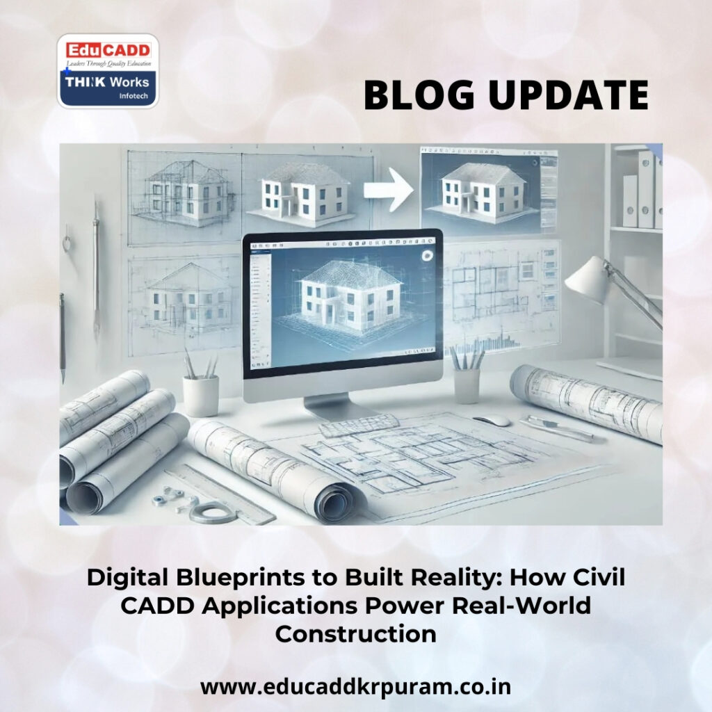
Civil CADD Construction Applications
Instead of relying on static blueprints, professionals now work within dynamic digital environments. Civil CADD applications allow teams to visualize projects before a single excavation begins. They streamline workflows, reduce errors, and improve communication between stakeholders. As infrastructure continues to expand across transportation, residential, commercial, and industrial sectors, these tools play a defining role in shaping durable and cost-effective developments. This blog explores how Civil CADD applications influence every major stage of real-world construction, from planning and surveying to sustainability and future-ready innovation.
1. Understanding the Core of Civil CADD Applications
Civil CADD Construction Applications refer to specialized computer-aided drafting and design software tailored specifically for civil engineering tasks. Unlike general drafting programs, these systems incorporate civil-focused features such as terrain modeling, alignment design, grading analysis, and quantity extraction. Engineers use them to create highly detailed 2D drawings and intelligent 3D representations of infrastructure components.
These applications improve design consistency by standardizing symbols, scales, and measurement units. Because calculations integrate directly into drawings, errors decrease significantly. Designers can adjust parameters instantly and see immediate updates across related elements. This interconnected structure ensures that even complex modifications remain manageable. As a result, projects progress with fewer disruptions and greater confidence in accuracy.
Moreover, Civil CADD applications store design revisions systematically. Teams can review earlier versions, compare alternatives, and maintain a clear documentation trail. This structured approach strengthens accountability and reduces confusion during execution.
2. Planning and Concept Development with Digital Precision
Every successful project begins with strategic planning. During the conceptual phase, engineers analyze site conditions, environmental factors, and feasibility constraints. Civil CADD applications support this stage by enabling accurate visualization and preliminary layout design.
Using survey data and topographical inputs, professionals create digital terrain models that represent the site’s natural features. These models allow planners to assess slopes, contours, and potential drainage patterns. Consequently, engineers identify challenges early and propose practical solutions. Instead of relying on rough sketches, they generate scaled layouts that reflect realistic site conditions.
Because Civil CADD Construction Applications allow rapid adjustments, multiple design options can be explored within a short timeframe. Stakeholders can compare alternatives based on cost, safety, and sustainability. This flexibility enhances decision-making and strengthens project foundations before construction begins.
3. Road and Highway Engineering Applications
Transportation networks demand exceptional precision. Even slight miscalculations in road alignment or gradient can compromise safety and performance. Civil CADD applications simplify the intricate process of highway design by integrating alignment tools, cross-section generation, and earthwork analysis into a single environment.
Engineers design horizontal curves, vertical profiles, and superelevation transitions efficiently. Automated calculations ensure compliance with engineering standards. Furthermore, cross-sectional views provide detailed insights into pavement layers, embankments, and drainage structures.
Because Civil CADD applications enable quick scenario testing, designers can evaluate alternative routes and select the most efficient alignment. This capability reduces unnecessary excavation and material usage. Clear, detailed drawings generated through these systems guide contractors during construction, minimizing on-site confusion and delays.
4. Land Development and Site Layout Optimization
Urban growth requires structured land utilization. Residential layouts, commercial complexes, and industrial zones must integrate roads, utilities, and open spaces effectively. Civil CADD applications play a critical role in organizing these elements within cohesive design frameworks.
Engineers import survey coordinates to generate accurate boundary maps and contour layouts. Using grading tools, they determine cut-and-fill requirements and optimize site levels. Because earthwork quantities are calculated automatically, developers gain reliable cost projections.
Additionally, Civil CADD applications allow planners to design internal road networks, parking areas, and drainage channels within one integrated model. This centralized approach reduces coordination errors between civil and utility systems. Visual simulations further enhance stakeholder confidence by presenting realistic project representations.
5. Structural Drafting and Foundation Coordination
Structural stability defines the safety of any construction project. Civil CADD applications assist engineers in preparing precise foundation layouts, reinforcement details, and structural sections. These drawings form the backbone of safe construction practices.
Digital drafting ensures accurate spacing, dimensioning, and reinforcement placement. Engineers can modify structural elements without redrawing entire plans. Because updates automatically reflect across related drawings, consistency remains intact.
Foundation coordination also benefits from integrated soil data inputs. Engineers analyze bearing capacities and adjust footing dimensions accordingly. As a result, material usage becomes optimized, and structural performance improves. Clear structural documentation reduces misinterpretation on-site and enhances construction quality.
6. Survey Integration and Terrain Modeling
Accurate survey data forms the basis of effective design. Civil CADD applications integrate seamlessly with GPS systems and total stations, allowing direct data import. This eliminates manual transcription errors and accelerates workflow.
Digital terrain modeling tools create detailed 3D representations of existing land conditions. Engineers evaluate elevation changes, slope stability, and drainage flow patterns within these models. Consequently, grading plans become more reliable and efficient.
Field teams also benefit from precise setting-out drawings derived from the digital model. Survey markers can be positioned accurately, ensuring construction aligns perfectly with design specifications. This synergy between field data and digital drafting strengthens overall project accuracy.
7. Drainage, Sewer, and Water Supply Design
Water management systems protect infrastructure and public health. Designing these networks requires careful slope analysis and flow calculation. Civil CADD applications provide hydraulic design tools that simplify this process.
Engineers determine pipe diameters, invert levels, and gradient requirements within the drafting interface. Three-dimensional visualization reveals potential clashes between underground utilities and structural elements. By resolving conflicts early, teams prevent costly site adjustments.
Municipal projects particularly benefit from the structured documentation produced through Civil CADD applications. Detailed layouts and standardized symbols streamline approval processes and improve maintenance planning.
8. Quantity Estimation and Cost Efficiency
Accurate quantity take-offs directly influence project budgeting and profitability. Civil CADD applications extract measurements such as area, length, and volume automatically from design drawings. This automation enhances precision and reduces manual errors.
Contractors rely on these calculations to prepare procurement schedules and cost breakdowns. Because quantities align precisely with digital drawings, financial transparency increases. Moreover, engineers can adjust designs to optimize material consumption before construction begins.
By minimizing wastage and rework, Civil CADD applications contribute to stronger cost control and improved project margins.
9. Enhancing Team Collaboration and Workflow Integration
Modern projects involve multidisciplinary teams. Architects, engineers, contractors, and consultants must coordinate effectively. Civil CADD Construction Applications foster collaboration by enabling file sharing, revision tracking, and synchronized updates.
Cloud integration allows stakeholders to access project data remotely. Designers can review comments, implement changes, and maintain consistent documentation. This interconnected workflow reduces communication gaps and accelerates decision-making.
Because everyone works from a unified digital model, project alignment improves significantly. As a result, delays caused by miscommunication become less frequent.
10. Regulatory Compliance and Quality Assurance
Construction projects must adhere to local codes and industry standards. Civil CADD applications help engineers incorporate standardized templates and annotation systems into their drawings.
Digital records maintain clear revision histories, which simplifies audits and inspections. Authorities can review design updates quickly, improving approval timelines.
Clear documentation also strengthens quality assurance during execution. Contractors follow precise instructions, reducing construction discrepancies and ensuring compliance with approved plans.
11. Sustainability and Environmental Responsibility
Environmental considerations now influence nearly every infrastructure project. Civil CADD applications assist engineers in designing eco-conscious solutions. Terrain analysis helps minimize soil erosion and protect natural landscapes.
Engineers evaluate drainage patterns to prevent flooding and waterlogging. Material optimization tools reduce resource consumption. Additionally, simulation features allow professionals to analyze environmental impacts before construction begins.
By integrating sustainability principles into the design stage, Civil CADD applications promote resilient and environmentally responsible development.
12. Adaptability to Design Changes and Project Evolution
No construction project remains static. Client requirements, regulatory conditions, or unforeseen site challenges may necessitate modifications. Civil CADD applications simplify design updates by linking related elements within a single model.
When one parameter changes, connected drawings adjust automatically. This dynamic adaptability saves time and reduces repetitive drafting work. Teams can explore multiple design scenarios without compromising documentation accuracy.
Such flexibility enhances responsiveness and strengthens project management efficiency.
13. Skill Development and Industry Demand
Proficiency in Civil CADD applications has become a vital skill in the engineering profession. Educational institutions and training centers emphasize practical learning through real-world project simulations.
Professionals skilled in these tools demonstrate higher productivity and technical confidence. Employers value candidates who can deliver accurate digital drawings efficiently. As infrastructure investments expand globally, demand for Civil CADD expertise continues to grow.
Continuous upskilling ensures engineers remain competitive and adaptable in an evolving technological landscape.
14. Future Innovations and Smart Infrastructure
Emerging technologies are reshaping construction methodologies. Civil CADD applications increasingly integrate with Building Information Modeling platforms, artificial intelligence tools, and cloud-based systems.
These integrations enable real-time data synchronization and predictive analysis. Engineers can simulate traffic patterns, infrastructure loads, and maintenance cycles digitally. Smart city initiatives rely heavily on such intelligent modeling capabilities.
As innovation accelerates, Civil CADD applications will expand beyond drafting into comprehensive infrastructure management systems. Their influence on project lifecycle management will continue to grow.
Conclusion
Civil CADD Construction Applications have revolutionized the way civil engineering projects are conceived, designed, and executed. By combining precision drafting with intelligent modeling, these tools streamline workflows and enhance collaboration. From transportation networks and land development to drainage planning and structural detailing, they support every critical phase of real-world construction.
Their capacity to integrate survey data, optimize materials, and adapt to design changes ensures efficient project delivery. Furthermore, sustainability and smart technology integration position Civil CADD applications as essential components of future-ready infrastructure.
As construction challenges become more complex, digital design systems will remain at the forefront of innovation. Engineers who master Civil CADD applications will lead the transformation toward safer, smarter, and more sustainable built environments.

